Precision Tools for Modern Field Operations
Equip your teams with reliable surveying technology designed for accurate data collection, efficient workflows, and real-world geospatial operations.
Built for Every Survey Operation
High-performance equipment for professional geospatial operations.
Positioning & Surveying
GNSS receivers and RTK systems for high-accuracy field positioning.
Aerial Mapping
Enterprise drones for mapping, inspection, and monitoring workflows.
3D Scanning & LiDAR
Capture terrain and environments with high-density point cloud technology.
Smart Agriculture
Precision agriculture systems for spraying, steering, and field automation.
End-to-End Equipment Support
More than hardware—we help ensure operational readiness.

Fast & Secure Delivery
Reliable nationwide shipping with secure packaging and handling.

Deployment Assistance
Support for setup, configuration, and initial operational deployment.
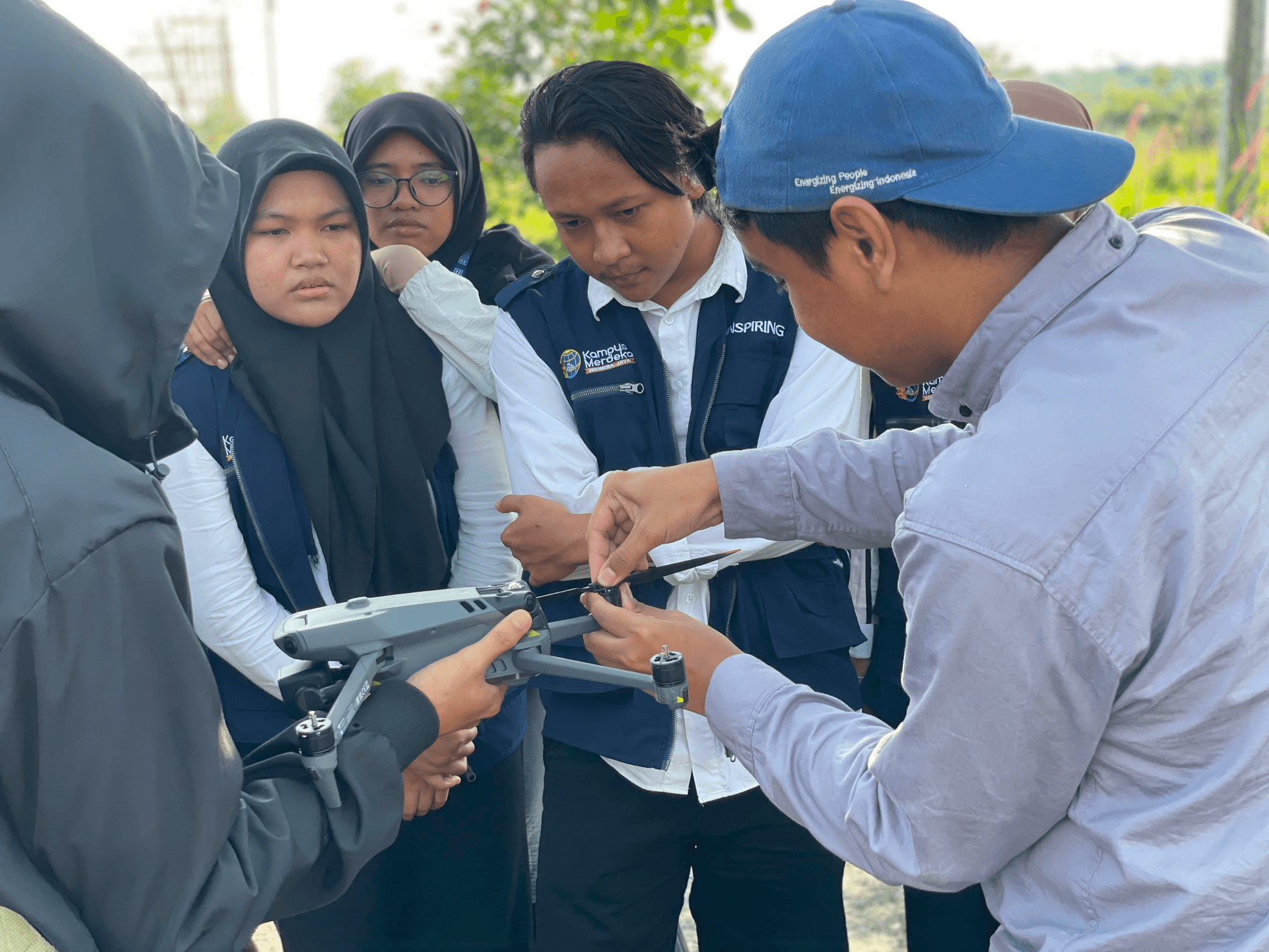
Hands-On Training
Learn how to operate, configure, and maintain your survey equipment effectively.

Workflow Integration
Integrate your equipment with GIS, CAD, photogrammetry, and spatial processing software.