SAR & Optical Imagery for Monitoring, Analysis, and Decision-Making
Access reliable satellite imagery for any location, industry, or operational need—whether you require historical archives or newly tasked acquisitions.
Choose the Resolution That Fits Your Needs
Different operational needs require different levels of detail.
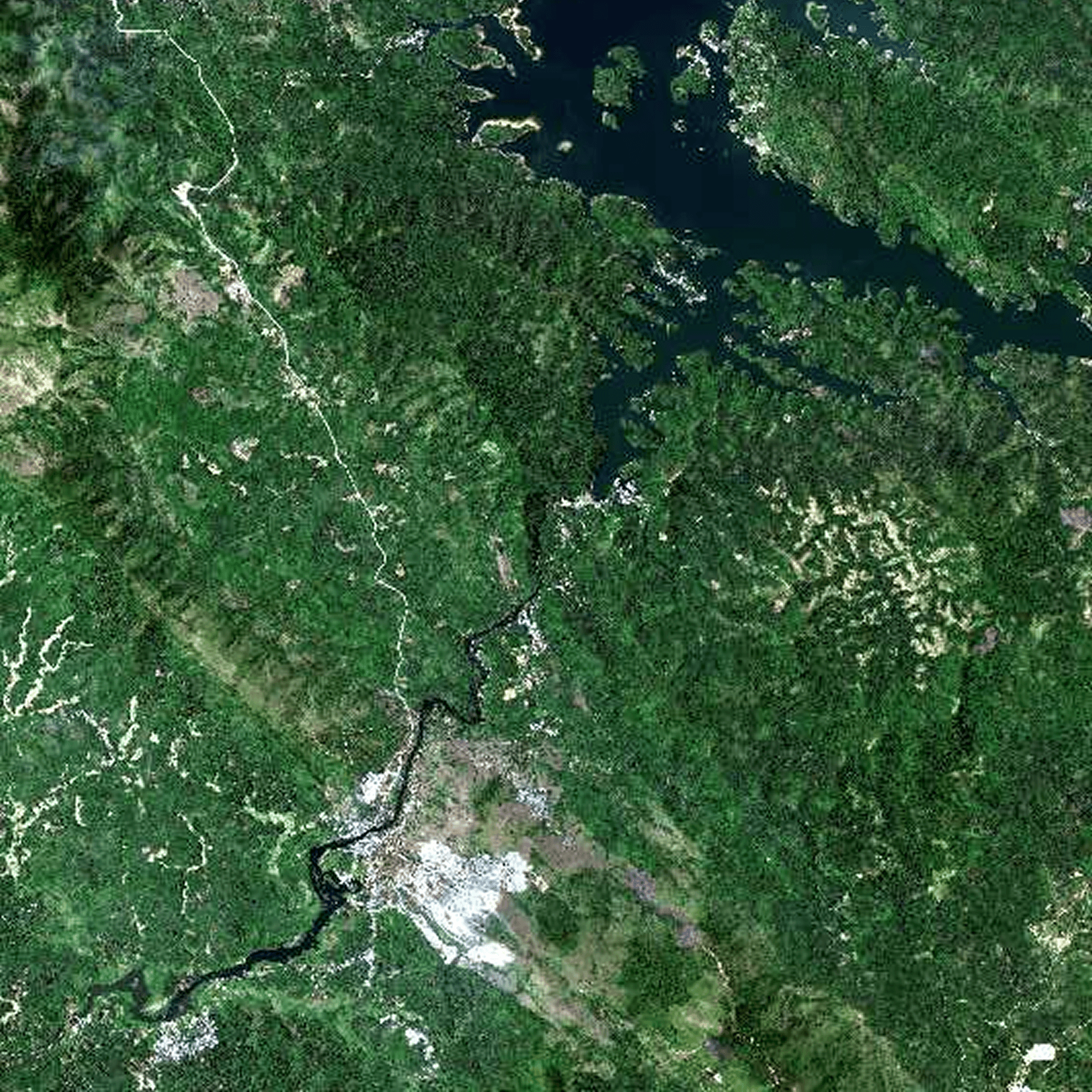
0.8m Resolution
Efficient Coverage for Large Areas
Wide area coverage
Faster processing workflow
Cost-efficient monitoring
Suitable for macro analysis
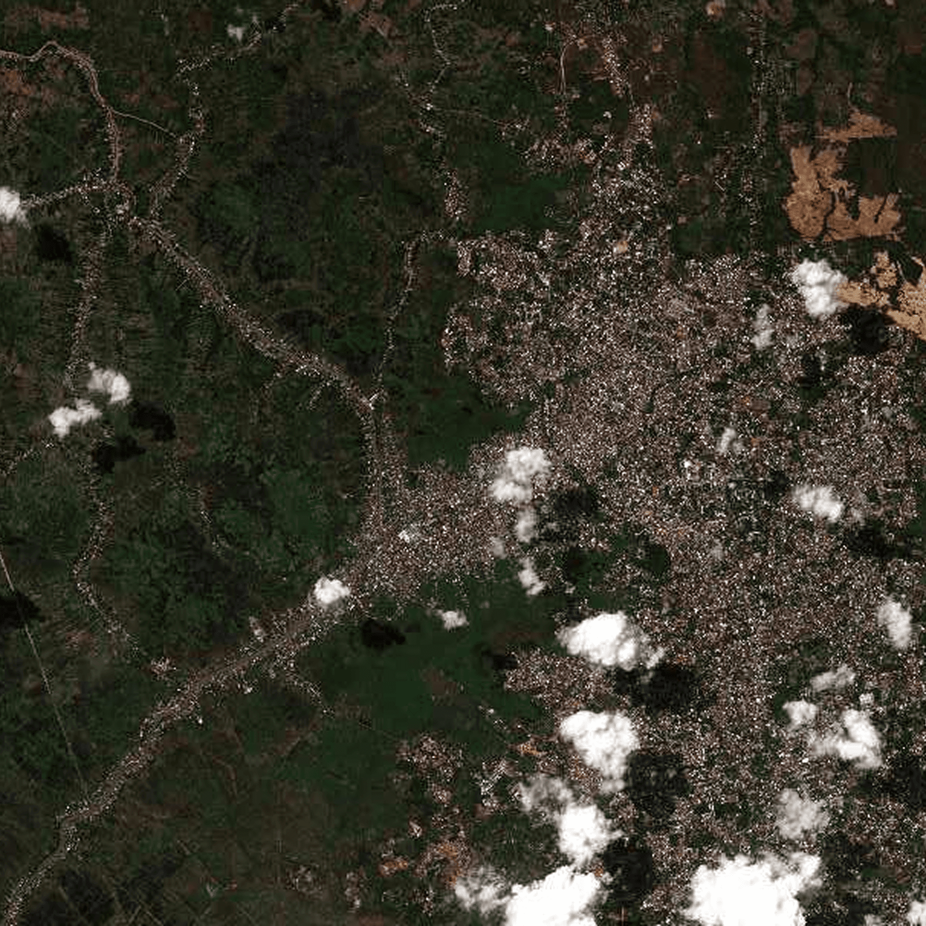
0.5m Resolution
Balanced Detail for Operational Monitoring
Clear object visibility
Balanced coverage & detail
Ideal for operational workflows
Reliable monitoring capability
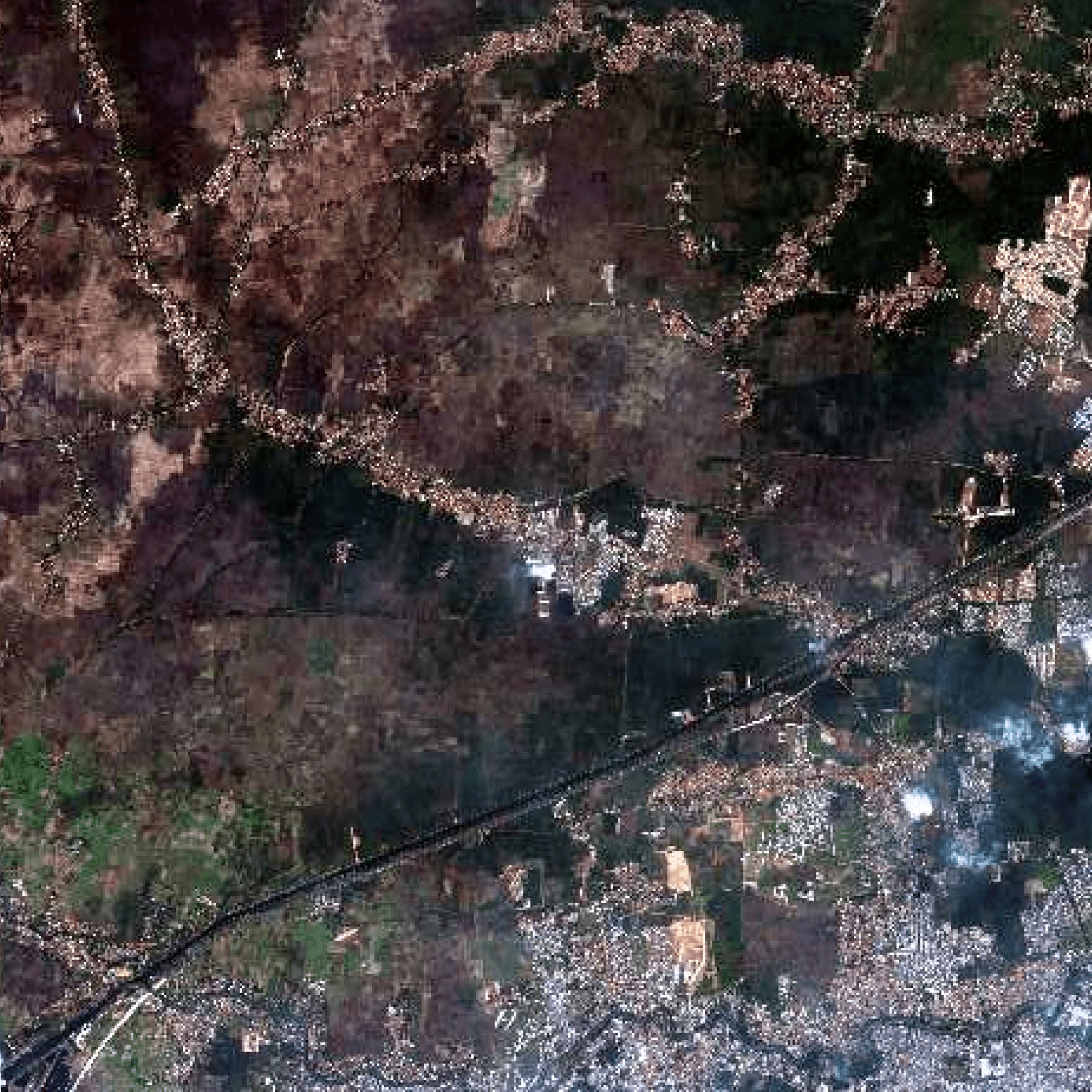
0.3m Resolution
High Precision for Detailed Analysis
Very high-detail imagery
Enhanced object recognition
Precision-focused workflows
Ideal for critical operations
Simple Process. Expert Support.
Our team will help define the best imagery specification for your use case.
Share Your Requirements
Tell us your area of interest, preferred date, cloud tolerance, resolution, and project needs.
We Search Existing Archives
We check available satellite archives to find imagery that matches your requirements.
Need New Imagery? We Handle Tasking
If archive data is unavailable, we prepare a custom satellite acquisition plan tailored to your needs.
Feasibility & Delivery Planning
Our team evaluates capture feasibility, weather conditions, and estimated delivery timelines.
Receive Your Processed Data
Once confirmed, we deliver your imagery in the required format—ready for visualization, GIS workflows, or analysis.
Processing & Enhancement Options
To improve accuracy and usability, imagery can be processed and prepared based on your operational needs.


Flexible Product Formats
Designed to support both visualization and advanced remote sensing workflows.
8-bit & 16-bit Imagery
Select standard or high-depth imagery depending on analytical requirements.
Bundle (Panchromatic + Multispectral)
Combine high-resolution panchromatic imagery with 4-band multispectral data for richer analysis and interpretation.
Powered by Leading Global Satellite Providers
To deliver reliable, high-quality geospatial intelligence, we collaborate with trusted satellite imagery providers across optical and SAR technologies.


Need Imagery for Your Project?
Access historical archives or request new imagery acquisitions tailored to your area of interest.
Frequently Asked Questions
Find everything you need to know about Cadence.
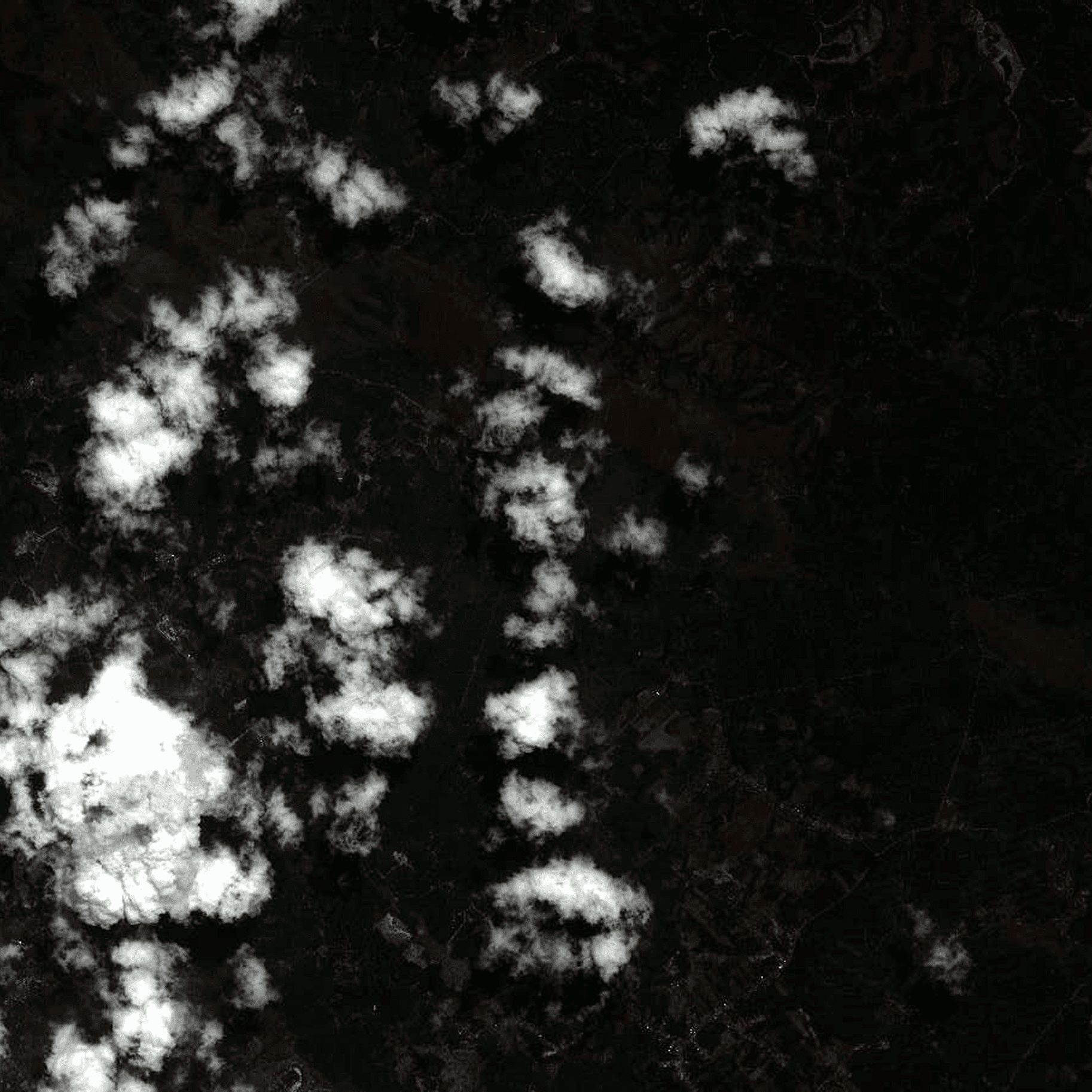
What types of satellite imagery do you provide?
We provide both Optical and SAR (Synthetic Aperture Radar) imagery for various operational and analytical needs, including monitoring, mapping, and environmental analysis.
Can I request historical satellite imagery?
What if the imagery I need is not available in archives?
What formats will the imagery be delivered in?
Can your team help determine the best imagery specification for my project?